© Angela M. Lobefaro
All Rights Reserved
RIPRODUZIONE RISERVATA
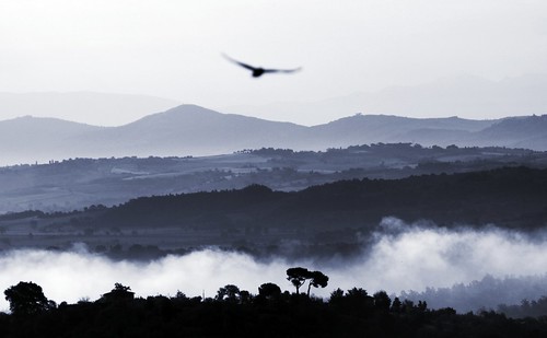
The Val di Chiana is about 100 km long, and covers about 2300 km². It runs north to south between the plain of Arezzo and the plain of Orvieto and includes the watershed of the Canale Maestro della Chiana, its main watercourse, and the northern part of the watershed of the Chiani River.
To the north-east it is bounded by the Tuscan pre-Apennines crowned by the Alta Sant'Egidio (1,057 m), monte Lignano (837 m) and monte Corneta (744 m). To the south-east, it reaches Lake Trasimeno and the valley of the Nestore River. To the west, it extends to the Val d'Orcia, where it reaches its highest altitude, 1,148 m (Monte Cetona).
The landscape is mostly hilly, with a plain around the Canale Mastro. Its mean altitude is around 405 m.
en.wikipedia.org/wiki/Valdichiana
07 June, 2011
Valdichiana Sunrise
Subscribe to:
Post Comments (Atom)


No comments:
Post a Comment